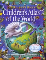
Provides a comprehensive reference guide for middle readers with over 3000 illustrations, a “World Fact File”, glossary, projects, activities, maps, and more.In the 19th century, as a hoax, the
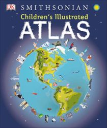
Bring geography to life and explore the countries of the world like never before with DK’s Children’s Illustrated Atlas. Featuring approximately 50 unique maps of the world that show
Unlike any other you have ever seen before, this atlas brings our amazing world to life in 3-D. With its more than 60 specially commissioned 3-D maps and artworks,
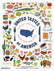
Cook around the country with this geographical collection of authentic recipes from each of the USA’s 50 states, plus three territories, and the nation’s capital Following the success of
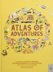
A 2016 Notable Social Studies Trade Book for Young People (National Council for the Social Studies-Children’s Book Council)Set your spirit of adventure free with this lavishly illustrated trip around
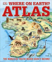
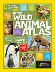
Captivating critters, eye-grabbing pictures, weird and freaky facts—what better way for kids to learn geography! In this child-friendly atlas, stunning animal photos combine with colorful, easily accessible maps to
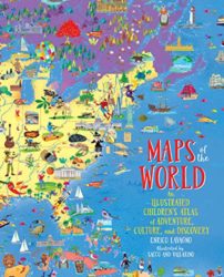
A lavishly illustrated, fact-filled, oversized atlas that allows children to discover the world without leaving their home. Covering every continent, country, even outer space, MAPS OF THE WORLD is
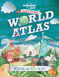
Finally, Lonely Planet has made the Atlas kids have been waiting for! With 160 pages of illustrated maps, engaging infographics, mind-blowing photography and a large dose of humour, this
A lavishly illustrated, fact-filled, oversized atlas that allows children to discover the world without leaving their home. Covering every continent, country, even outer space, MAPS OF THE WORLD is